
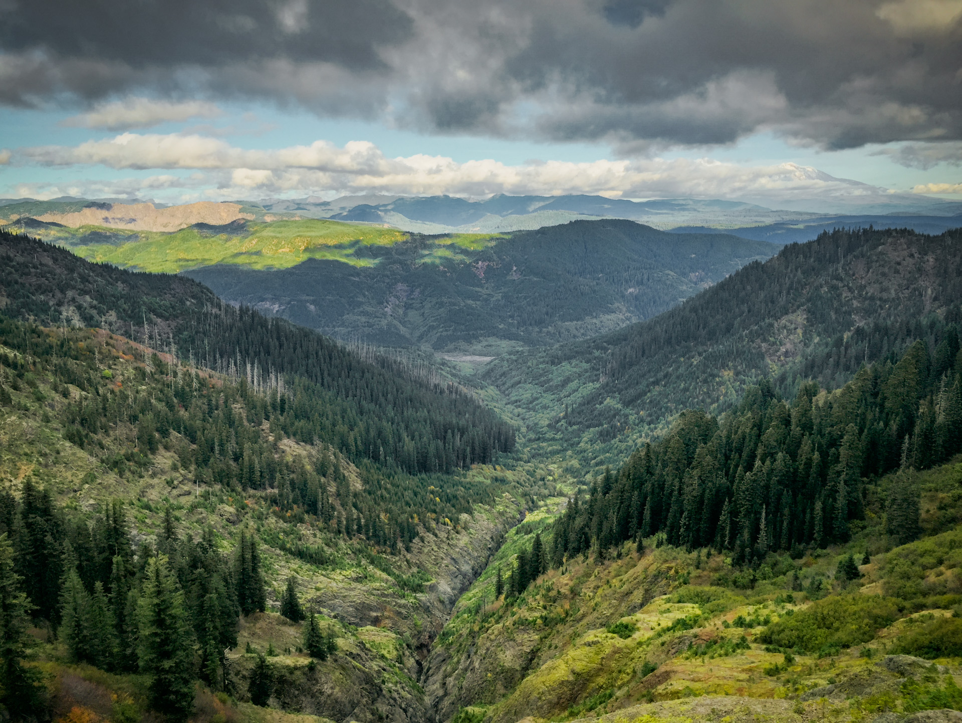
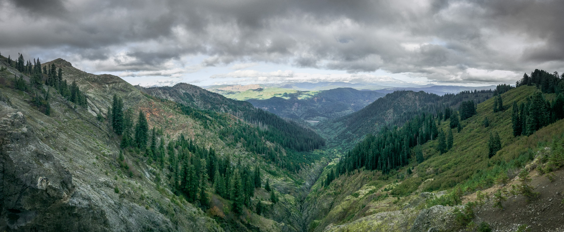
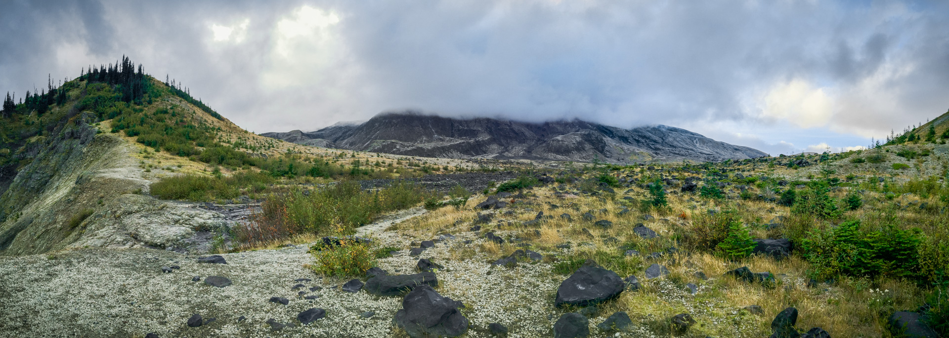
Behold the Plains of Abraham.
Our longest hike with the most elevation gain. Not sure about the mileage in the stats, but it’s more than 10 miles for sure.
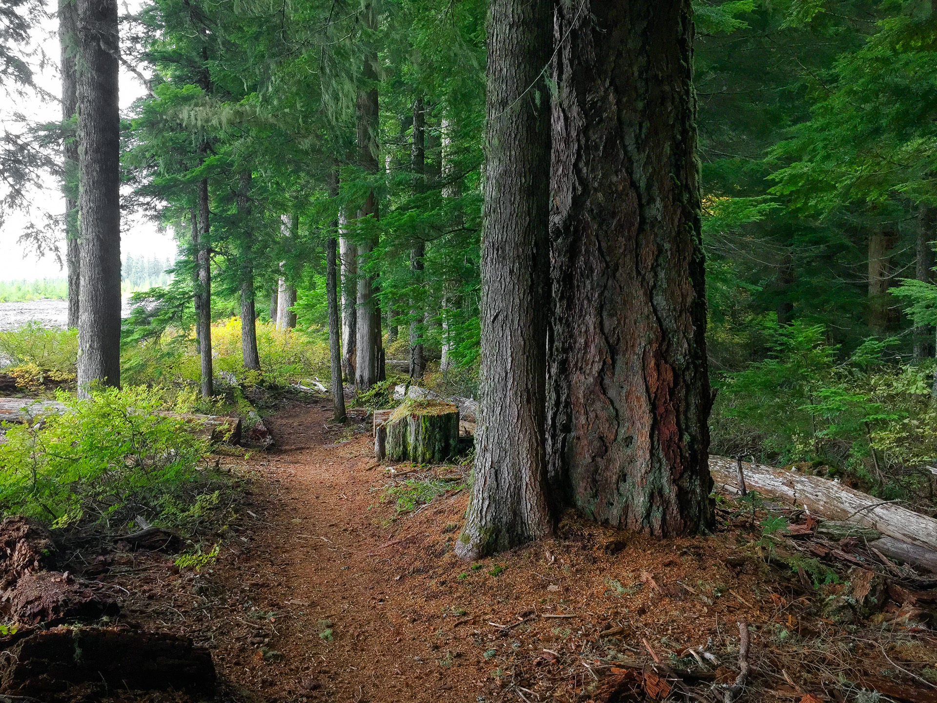
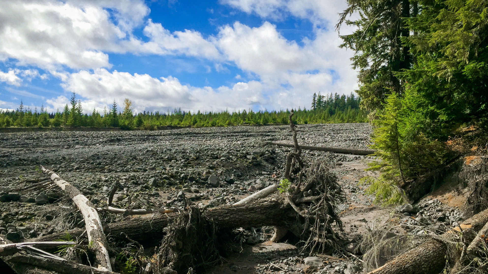
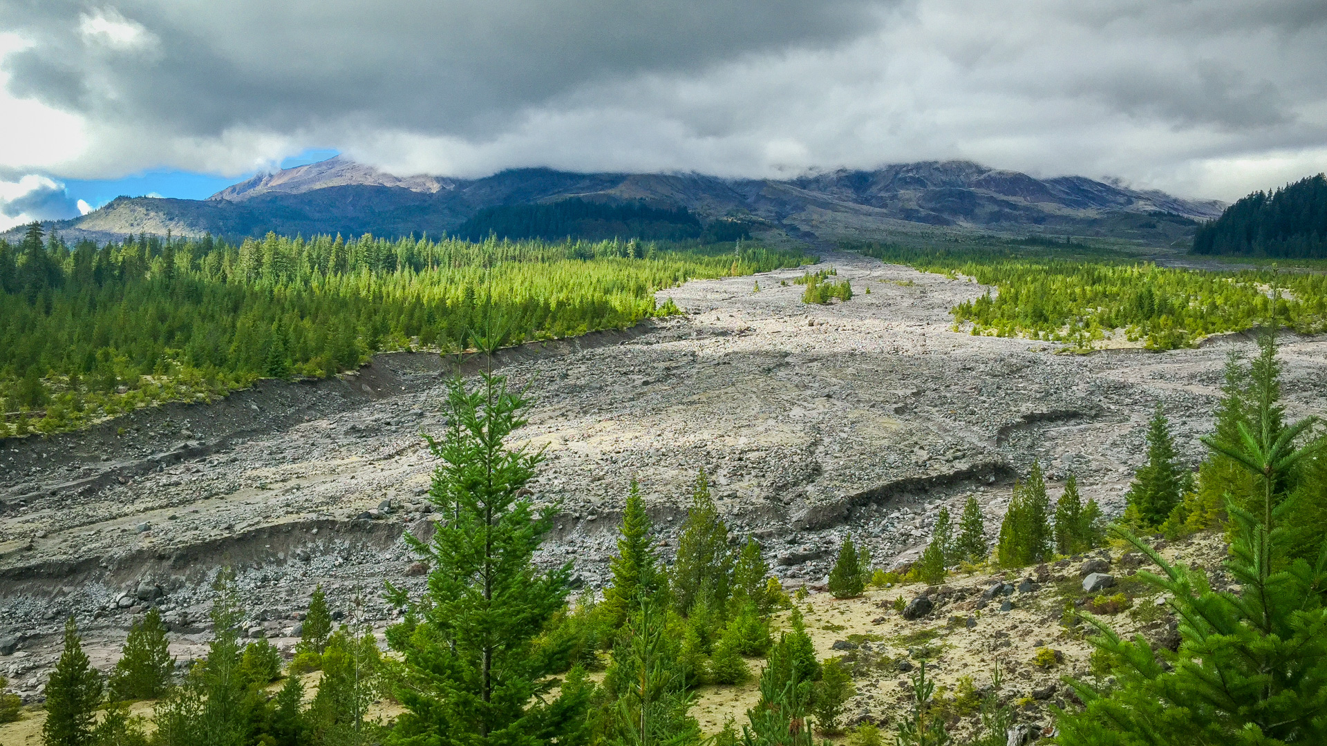
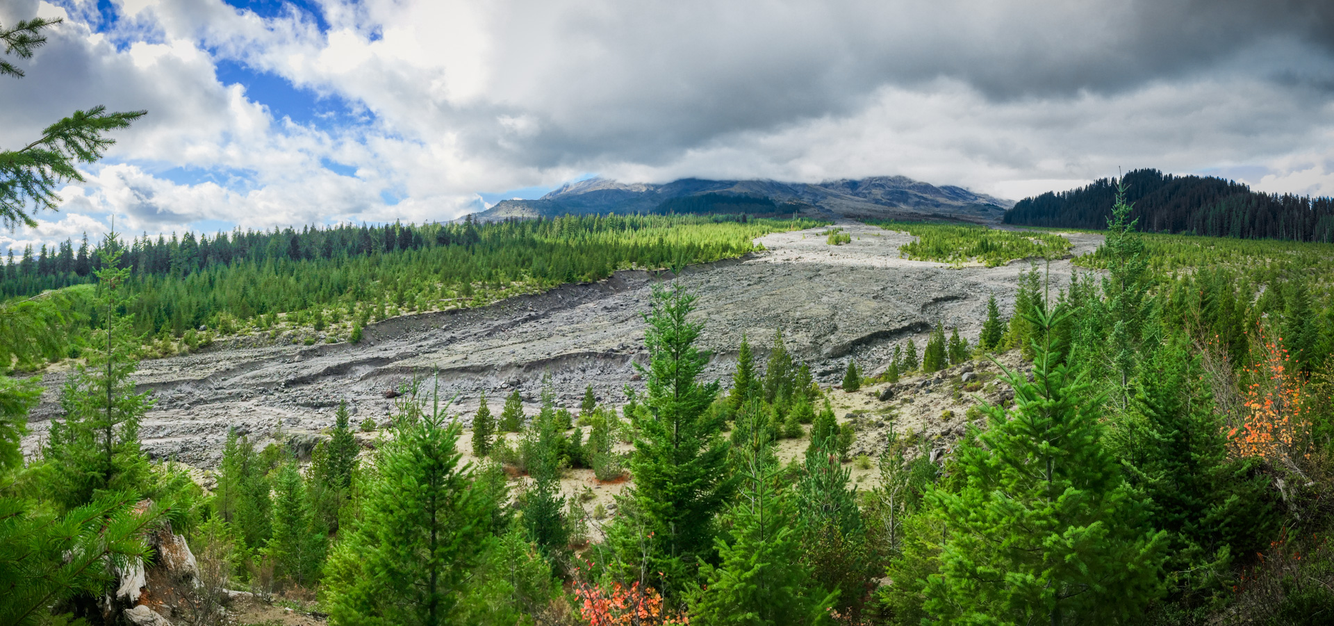
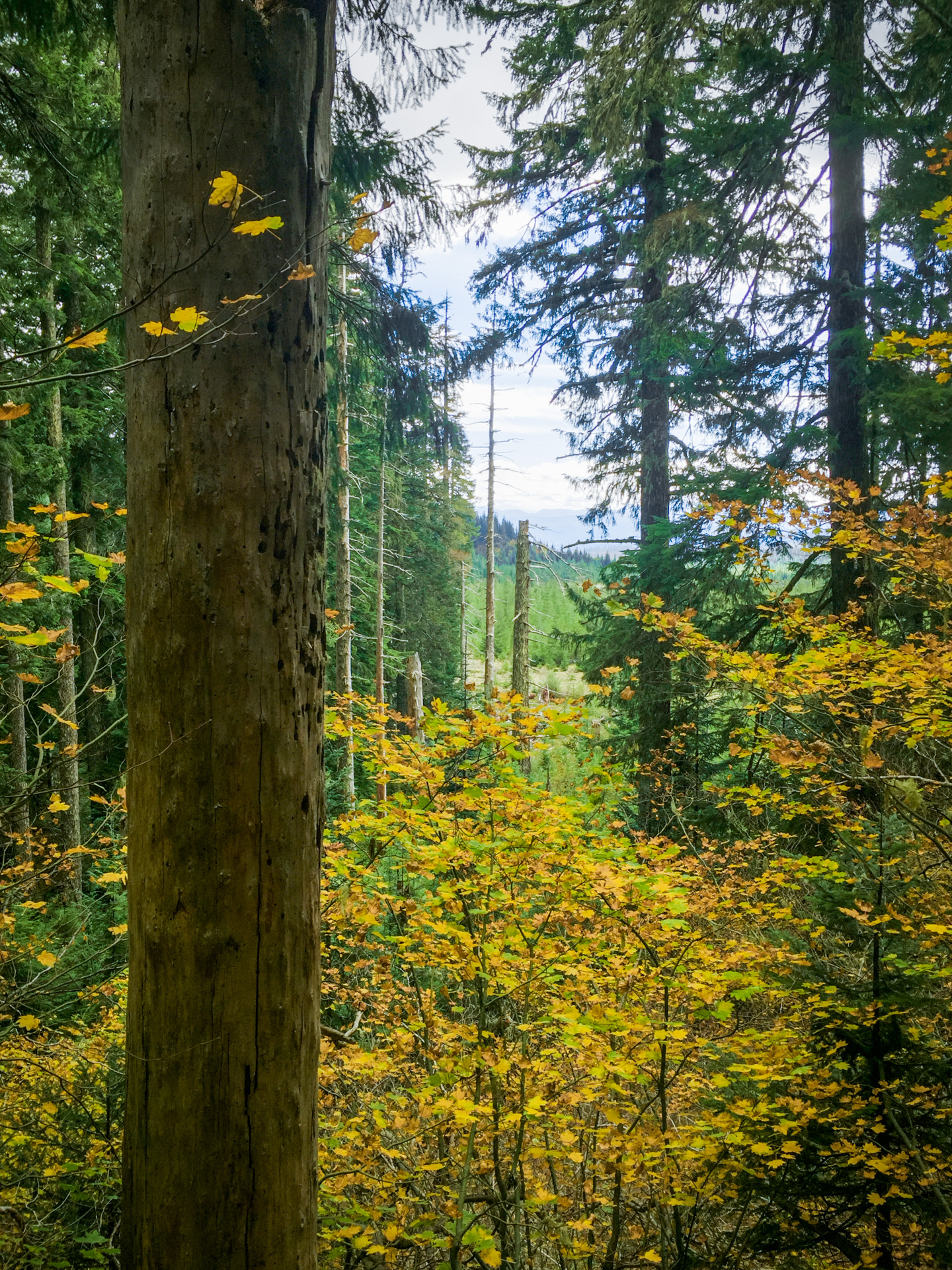
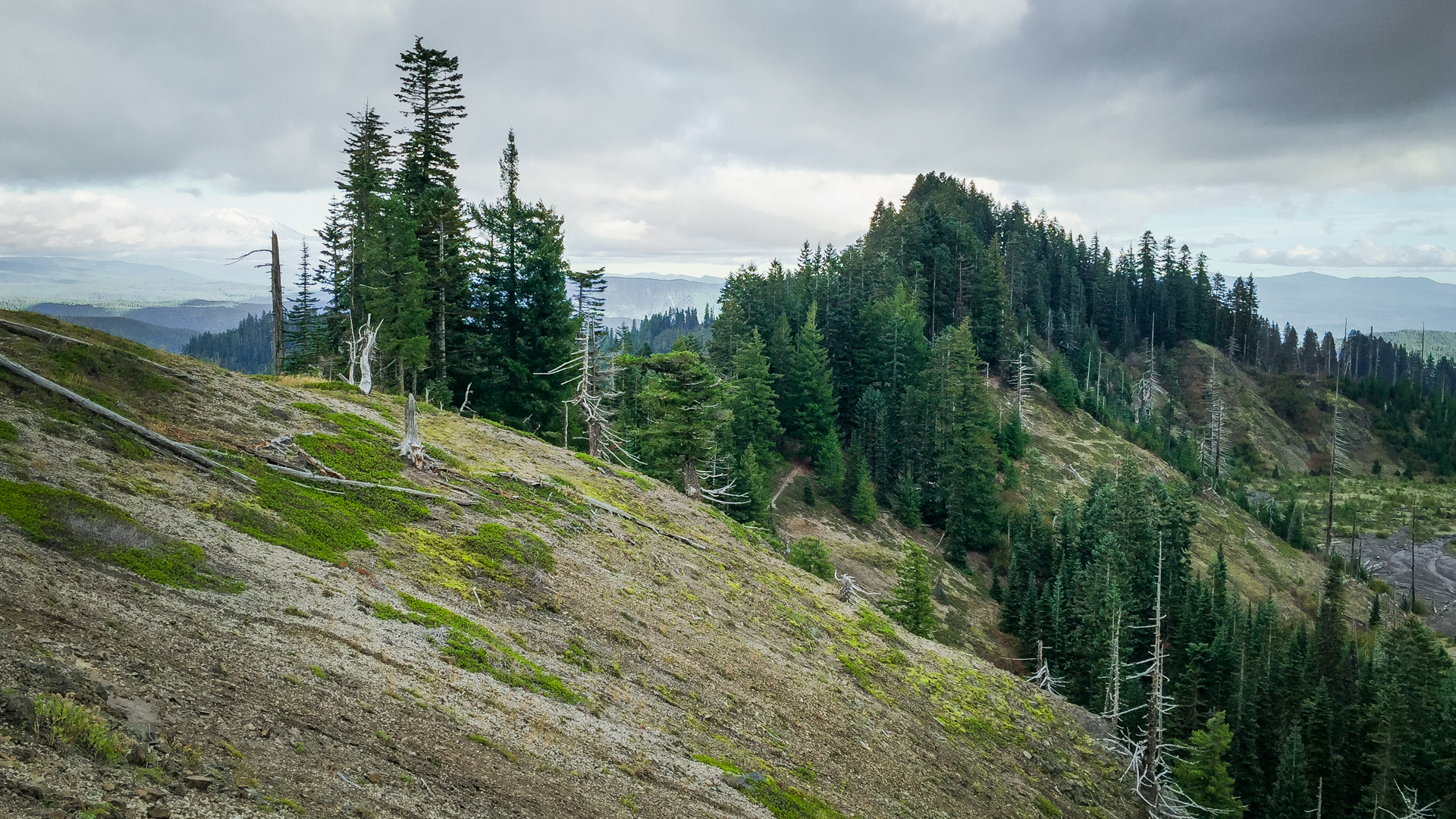
The trail starts along the Muddy River lahar winding in and out of the trees with occasional peeks at Mt. St. Helens. The climb is gradual with a couple of downhills on the way in, but mostly up. As you climb, you pass through an interesting stand of old-growth, starting out with Douglas firs, passing through Pacific silver-firs and ending at timberline with noble firs and other alpine species. You will see some of the largest Pacific silver-firs anywhere here.
An interesting thing about this stand is that it is nearly all evenly aged, I’m guessing around 500-700 years (or more). There are not many large snags or many large logs on the ground. The canopy is not multi-storied and the understory is not well established with multi-aged layers of the shade tolerant Pacific silver-firs.
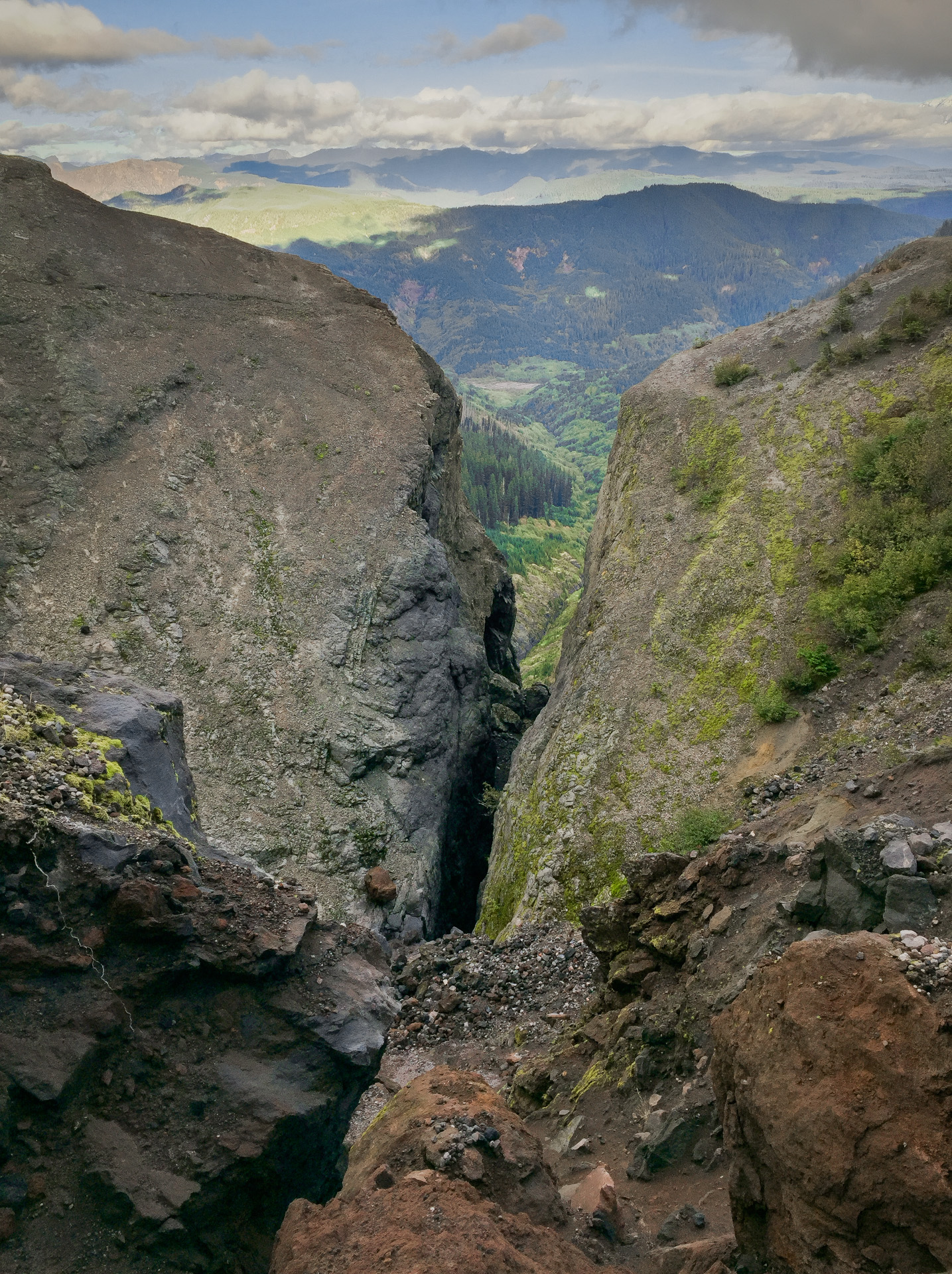
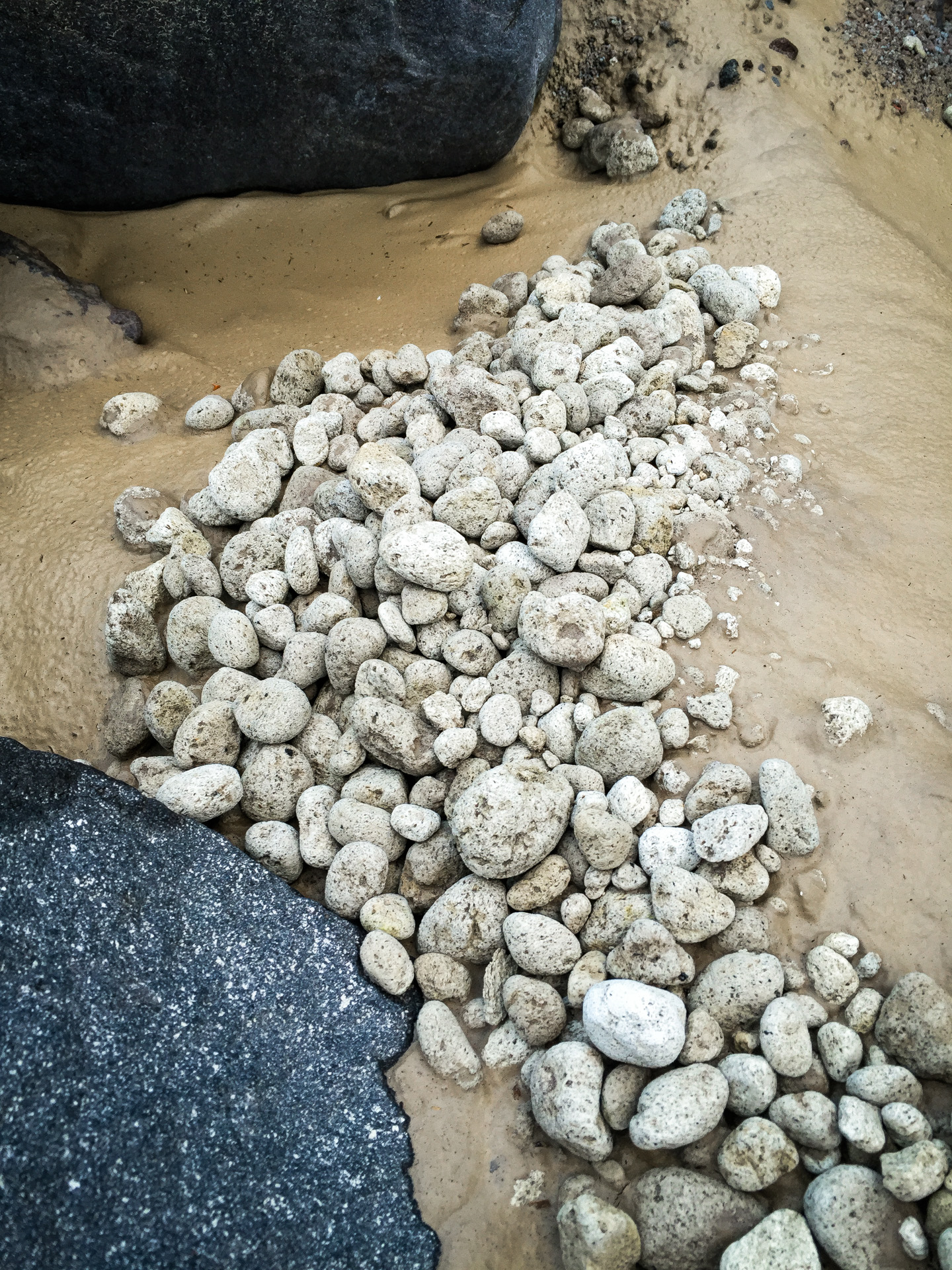
Near the top, you break out of the trees onto the pumice fields, passing a couple of precipitous views of Ape Creek’s slot canyon. There is a section of crumbling trail up here so take care. When you pass a large cairn, you can see across to the Plains of Abraham.
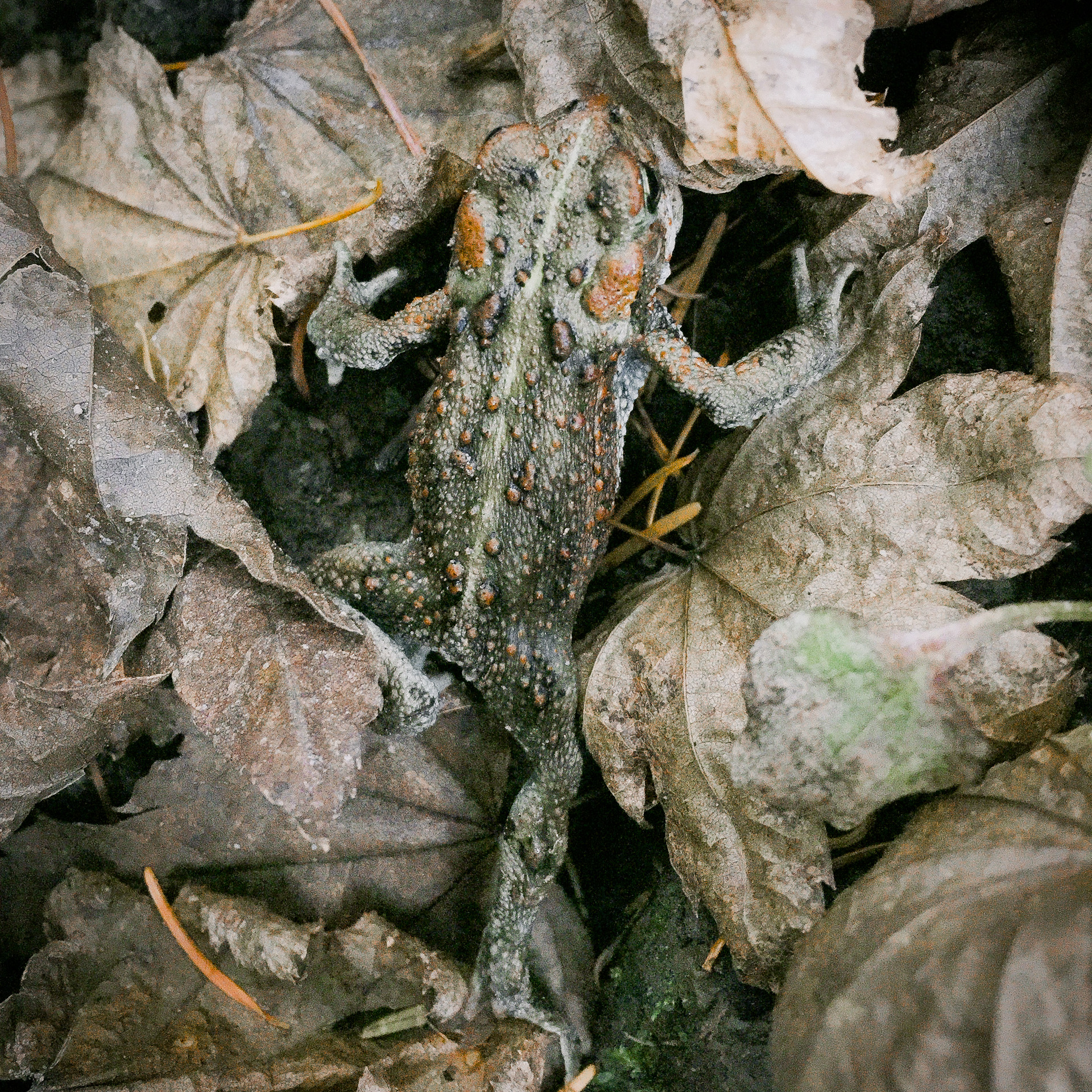
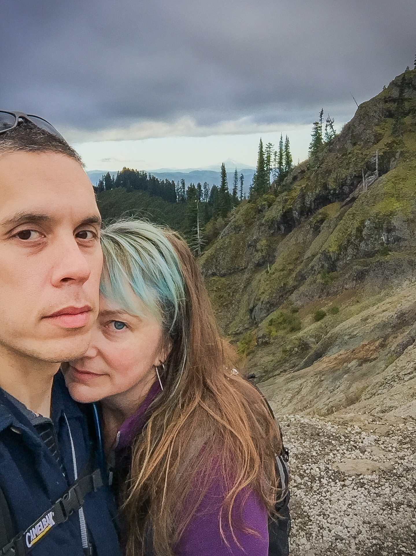
While we only got views of Mt. St. Helens in the dark on the way out, the hike was spectacular. We spotted a herd of mountain goats, heard some coyotes, and had a brief encounter with grey jays. Our usual late departure had us a little unexpectedly hiking out in the dark for the last hour, but we brought lights.
I’m looking forward to the spring wildflowers up here and maybe a mountain bike ride someday soon.

You will need to create an account and/or login to see the map with hike track and photo locations.
- 6 hrs 15 min
Total Time
- 52 min
Stopped Time
- 2.0 mph
Moving Speed
- 1.7 mph
Avg Speed
- 1,971 ft
Ascent
- 1,944 ft
Descent