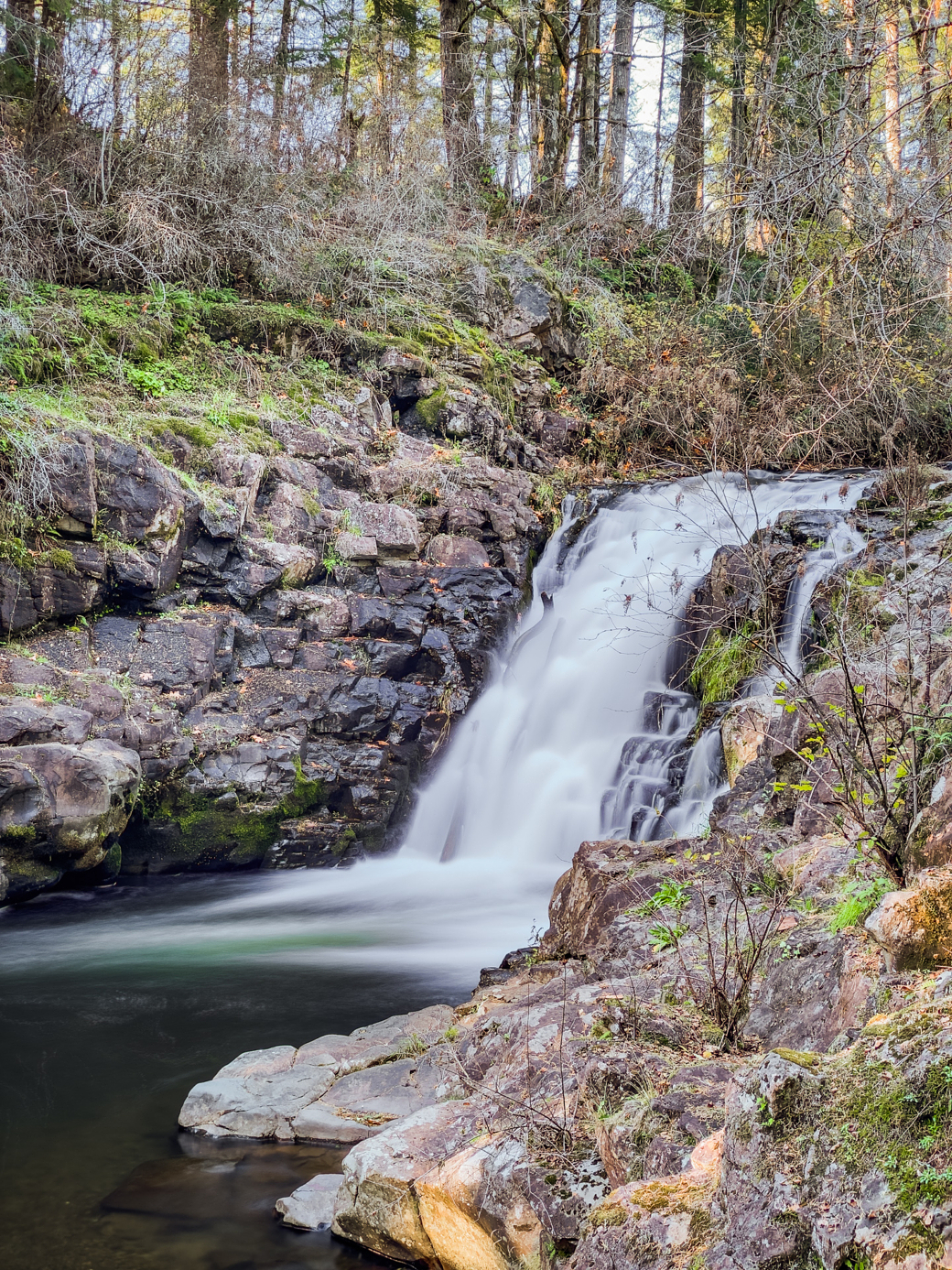
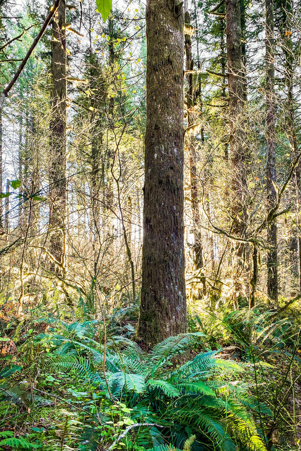
One of those “I can’t figure out where to go today” or “I’m not up for driving to a nice place to hike” hikes. Probably don’t go here to hike; maybe you could swim. Better than the candy flavored vaping and Bluetooth speakers at Stub Stewart. There’s a recently mapped dirt trail loop if you look at OpenStreetMap.
You will need to create an account and/or login to see the map with hike track and photo locations.
6.4 mi
Distance
2 hrs 26 min
Moving Time
27:43 min/mi
Pace
2 hrs 57 min
Total Time
30 min
Stopped Time
2.6 mph
Moving Speed
2.2 mph
Avg Speed
532 ft
Ascent
578 ft
Descent


